
On 22 February, the General Assembly of Budapest decided on the naming of two public areas. The 12th District Local Council initiated the naming of the public lands with topographical numbers 9727/6 and 9716/20 to Diana Lane. These public areas are listed in the Minerva GIS system and nature as "Diana Lane", the house numbers and street name signs are displayed accordingly, the people living here have been using the name Diana Lane for several decades. At the same time, the property with topographical number 9727/6 is listed as Szendrő Street in the records, and the public area with topographical number 9716/20 has not been named until now.
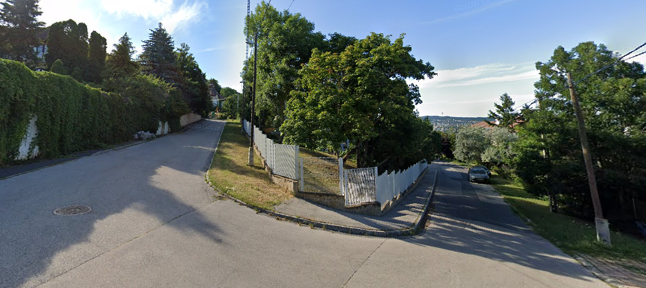
Diana Lane in the 12th District (Photo: Google Maps)
The name of the 12th District 'Diana Lane' was decided by the Executive Committee of the Budapest Socialist Council in 1985, according to which decision the section from 52 Szendrő Street and 57B Szendrő Street to 16A and 16C Diana Street, the public land that is part of the topographical areas 9721, 9727/6 and 9611 will be named Diana Lane. So the decision to name the public area 9727/6 was made back in 1985, and the General Assembly has now confirmed that it is called Diana Lane, and this name was also given to the hitherto unnamed public area with the topographical number 9716/20, the natural continuation of the area.
At the suggestion of the 20th District Local Council, the public area called Vereckei Street on geographical number 181690 was clarified by the General Assembly to the currently used public area name "Verecke Street". With the decision, the street officially got its pre-1937 name back. The residents living in the affected street have Verecke Street as their place of residence on their address cards. The street currently has "Vereckei Street" street name signs, which will be replaced.
Source: budapest.hu
Cover photo: The City Hall building (Photo: pestbuda.hu)


Hozzászólások
Log in or register to comment!
Login Registration