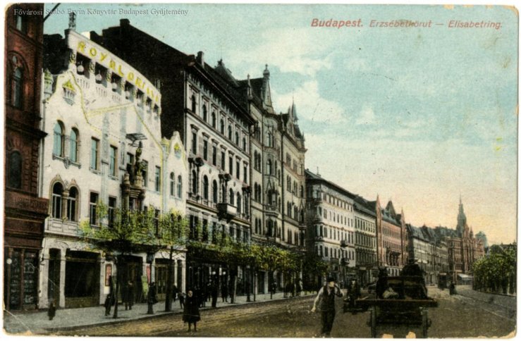
Most district names of Pest are of Habsburg origin, since Terézváros was named after Maria Theresa in 1777, Józsefváros got its name after the then Hungarian heir to the throne (also the German-Roman emperor), Lipótváros was named in 1790 after Leopold II, and Ferencváros after Francis I in 1792. The name of the 7th District between Terézváros and Józsefváros, known as Erzsébetváros, fits well into this line, but this name is somewhat new compared to the others: on 14 December 1881, the district applied for the name of Queen Elizabeth.
The districts of Budapest were established as early as 1873 during the unite of the city. At that time, Terézváros, which was large in proportion to the rest of the city, was divided and the area south of Király Street was reorganised into a new district. The choice fell on Király Street because this road was one of the main streets in Pest, before the opening of the Avenue, today's Andrássy Road, it was the most important route to City Park.

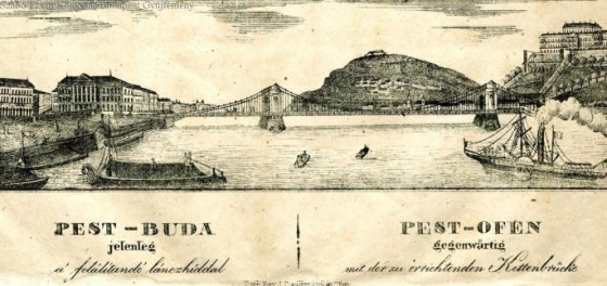
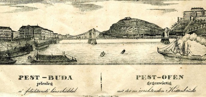
Terézváros was divided in two along Király Street (Photo: FSZEK Budapest Collection)
Today's Erzsébetváros - like Terézváros or Józsefváros - began to develop in the 18th century, along the roads leading out of Pest, so it was practically established as a suburb of Pest, as the historical Pest is the area within the Inner Ring Road surrounded by the former city wall.

The Dohány Street Synagogue was also built in the later Erzsébetváros, the 1878 photo is by György Klösz (Photo: Fortepan/Budapest Archives. Reference No.: HU.BFL.XV.19.d.1.05.071)
Today's Erzsébetváros was called Pacsirta Field in the 18th century, and later Ferdinánd Suburbs. In the 19th century, the area became more and more built up, a lot of people moved here, although the settlement was still quite rural, with many single-storey, small houses. The construction of the Outer Ring Road gave a real boost to the part of the city, as in the middle of the more rural environment a big city road and two-storey houses grew out of the ground.

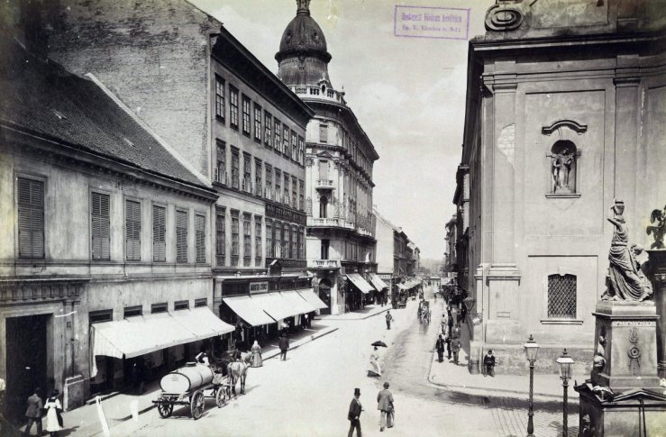
Klauzál Square was photographed by György Klösz at the end of the 19th century (Photo: Fortepan, Budapest Archives, Reference No.: HU.BFL.XV.19.d.1.07.063)
The gradually evolving part of the city, which was becoming less and less a suburb, applied in 1881 for the name of Queen Elizabeth. The application was filed on 14 December 1881, to which a reply was received very soon. In the Budapesti Közlöny of 24 January 1882, the following was written:
“His Imperial Majesty, by the highest decree dated 17 January this year, at the request of the audience of the capital of Budapest, on the proposal of the Prime Minister in charge of the Ministry of the Interior, most graciously allowed the 7th District to be named Erzsébet-város in honour of Her Majesty the Queen with the highest consent from her."
Take a look at what the 7th District looked like when it took the name. That year, József Kőrösi's study with new data, The Capital of Budapest in 1881 was published in Issue 15/1 of Statisztikai Közlemények. The 7th District and Terézváros actually formed an organic unit, so much that Kőrösi described them uniformly in the above study.
“In the inner parts of the 6th and 7th Districts (formerly Terézváros) the retail trade is dominated, while in the outer streets of the inner areas the working population are predominant. The 6th and 7th Districts are divided in two by the most populous street in these districts, Király Street. The inner part of this street, as well as the streets to the right and left, used to form the ghetto, but its narrow streets were broken by the construction of a new Avenue (1,200° long and 18-24° wide) decorated with the palaces along the way. The outer parts of these districts are separated from the inner parts by the City Park, which is a popular destination for the population of the capital.”
Despite the dynamic development of Erzsébetváros, this district still had the most cellar dwellings, with 15.53 percent of the population living in cellar dwellings.

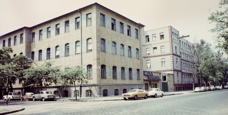
It was the smallest, most crowded, most densely populated part of the city when it was founded (Photo: Balázs Both/pestbuda.hu)
The statistics also show that in 1881, an average of 5.6 people per apartment in the 7th District lived here, and most people per room lived here (as well as in Kőbánya) as well. These were the busiest parts of the city, so it was primarily the poorer strata of craftsmen and workers who lived here in poor, often catastrophic, conditions.

The statue of Queen Elizabeth. The Madách Boulevard crossing Erzsébetváros would have started from here (Photo: Balázs Both/pestbuda.hu)
The inner part of Erzsébetváros was already a crowded part of the city when it was founded. The part of the city was completely developed in the next half century, as the formerly rural parts of the city became metropolitan areas. Significant public and church buildings rose, and the rural environment was also dominated by high-rise residential buildings, but congestion barely diminished. Therefore, in the first half of the 20th century, a plan for a boulevard through Erzsébetváros emerged, which would have had the function of a main road similar to Andrássy Avenue and would have made the part of the city more airy. However, this boulevard was never built.
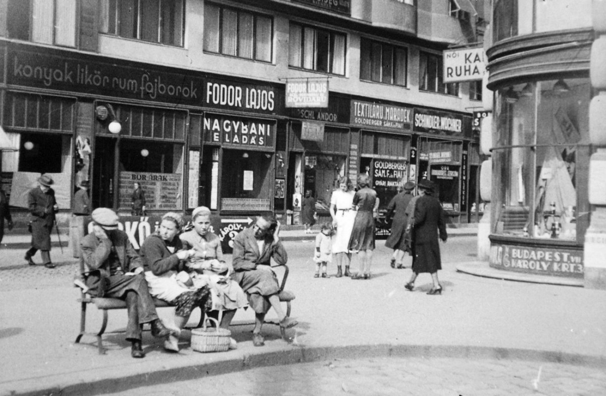
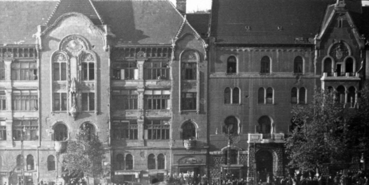
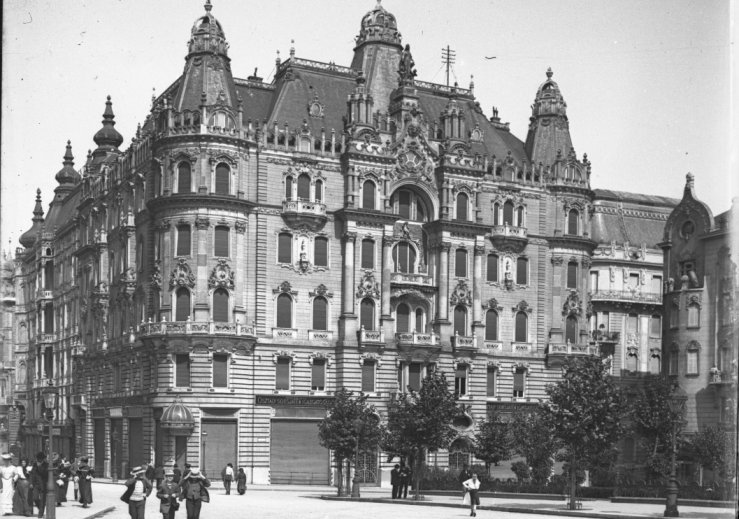
Cover photo: Life in Erzsébetváros in 1936 (Photo: Fortepan/No.: 22894)


Hozzászólások
Log in or register to comment!
Login Registration