The word 'páskom' means pasture, which here meant that the locals were able to drive their animals out into this shrubby, grassy, wooded area. Let us not forget, Pestújhely and Rákosszentmihály are centuries-old settlements. Today, of course, there is no trace of pasture, in fact, the Páskomliget Park itself is actually covered with beautiful, semi-planted forest. Let us take a closer look at what this area has to offer its visitors.
It is possible to approach the 15th District from several directions, the easiest way to get to the Rákospalota-Újpalota terminus from the city centre is by the 7th bus routes. Fortunately, the green area is not so small: a green lane stretches from the exit of the M3 motorway to the 16th District, the Rákospalotai border road. It widens at the Újpalota housing estate and forms a strip about a kilometre wide, parallel to the Szilas Stream and the Szentmihályi Road. However, in this article Pestbuda will cover the protected 'turján' area as well and take a walk along the Szilas Stream.
We start our journey from the parking lot of the Lidl-Aldi stores on Szentmihályi Road. Here, if we look south before we start our walk, the high-voltage transmission lines can be seen that feed Budapest from the Visonta Power Plant. Unfortunately, these cables divide the entire forest to a good hundred meters wide. Maybe in a few decades, they will be moving below the surface and not destroying the landscape.
.jpg)
Transmission lines cut a wide path out of the landscape (Photo: Dávid Palotás/pestbuda.hu)
If we cross Szentmihályi Road at the Shell gas station, we will reach a path a few meters wide. Signs here also show where we are.
.jpg)
We can follow well-designed paths (Photo: Dávid Palotás/pestbuda.hu)
If we turn left at the first option, we will soon find ourselves in the Páskomliget Park, which gives the impression of a beautiful park with a small hill in the middle. This hill is artificial but perfect for sledging for the locals.
.jpg)
The central part of the Páskomliget Park (Photo: Dávid Palotás/pestbuda.hu)
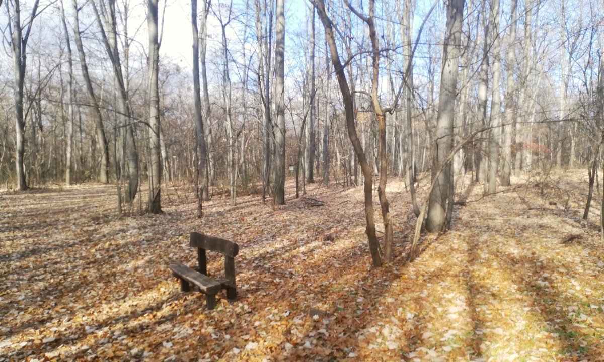
That is if there would be snow in the winter. From the top of the hill rise the hills of the Buda side and the buildings of the nearby Asia Centre, as well as the high chimney of the incinerator. In the absence of foliage, this imperfect panorama can be seen in the autumn, and in the summer the possibilities for observation are certainly scarcer. There are several benches in the park, the garbage is apparently collected regularly because we can easily find shopping carts, but luckily not garbage.
.jpg)
There are a lot of outdoor benches (Photo: Dávid Palotás/pestbuda.hu)
The forested area is managed by Pilisi Parkerdő PLC, the FKF (Municipal Street Maintenance Corporation) also helps, and there are often public garbage collection campaigns. The information boards here also describe that the situation was much worse in the 1990s. Here I would like to point out that there is no official educational trail in the area, but there is an outdoor gym route and a route marked with numbered information boards. Although small map sketches do not help a lot for a non-local, because there are many small branch paths in the area but they are somewhat usable.
Going down the hill from the back of the park and entering the forest, unfortunately, a sad sight unfolds: when we visited there (November 2021) we saw several homeless “accommodations” in the forest, with a lot of rubbish. We did not even meet citizens who are running or walking around, walking the dog. From the hill to the banks of the Szilas Stream, this sight welcomes us. It is sad that in 2021, the homeless will have to retreat to an area worthy of a better fortune.
Anyway, we were treated kindly, the sweets we had were welcomed by them. Around 2007, part of the forest burned down, according to experts, either due to the homeless or a discarded cigarette butt, in any case, acacia, black poplar and other
deciduous species were planted by foresters to replace them. Today, the pine population is quite small in the area, birch trees, willow trees and hornbeam also occur in large numbers in the areas close to the stream.
Arriving at the banks of the Szilas Stream, we are greeted by the sight of fields on the other side. Unfortunately, the old floodplain forests have been cut down and used as arable land. Walking along the creek towards the M3 motorway, past the Pólus Centre, we reached a small shallow swampy area called Lake Nevesincs ('no name'). It is located directly in front of the bridge under the M3 motorway. There are plenty of birds here in the summer, but now there is silence, as far as the noise of the highway is concerned.
.jpg)
The Szilas Stream seems to be a transparent stream with clear water, although its flow is unfortunately minimal (Photo: Dávid Palotás/pestbuda.hu)
If we venture a little further from here towards the administrative border into the fields, we can find bunkers. These are also war mementoes and are in surprisingly good condition. Definitely worth a visit. Here is a dirt road that leads back to the actual Páskomliget, but actually takes you to its protected 'turján' area. There is also a riding hall on the way, unfortunately, the area seems a bit neglected and is rich in dogs. Although they do not hurt, away from the inhabited parts, the dog barkings will not make a person feel very good.
The core area of the more famous, protected 'turján' barely resembles a square of 500x500 metres. You can walk around, four information boards are placed, but there are arable areas everywhere around it, and some of the structures of the riding hall. The term 'turjános' means a forest standing in water. Although the water collects here only after heavy rains, the Szilas Stream also flows 300 metres away, so it no longer has a direct connection with watercourses.
Nevertheless, fortunately, several real plant rarities have a natural occurrence here: Broad-leaved helleborine, blue cornflower, common corn-cockle represent the greatest value. You should not deviate from the road, but the true face of the 'turján' can still be seen from there: a forest with lots and lots of bushes. On the other side of the bypass, however, a mass of silkweed and Canadian goldenrod invasive species are being prepared to conquer the protected area. However, the FKF is trying to stop this, and today there is little waste in the area, and we have not even encountered any landfills. This definitely praises the company’s dedicated work.
.jpg)
The core area of 'turjános' from the road marking the border of the nature conservation area (Photo: Dávid Palotás/pestbuda.hu)
From 'turjános', you can also go back to the Páskomliget through the riding hall, passing a dog school directly. Larger landfills can only be found along the Szilas Stream at the new M0 access road, but sometimes they are also eliminated by enthusiastic fellow citizens. Unfortunately, damaging is still raging in Budapest, as some of the systematically overturned information boards “inform” about.
.jpg)
.jpg)
Overturned signs along the marked path (Photo: Dávid Palotás/pestbuda.hu)
All in all, it can be said that the whole area can be explored within a more extended walk (6-7 kilometres). One has the feeling that this is a dormant, deep sleeping area with plenty of untapped opportunities. Of course, money would be needed, but still, the impression is that the locals do not want others to get to know this exceptional area of the capital. This is because all the conditions have been created for the creation of a very demanding park with lookouts, stream-side seating and better-signposted routes, similar to the recreational parks along the Rákos Stream or the renovated shorelines along Lake Naplás.
Of course, even in this state, we were impressed, and it is possible that it is this obscurity, a forgotten feeling that makes the Páskomliget and its surroundings the way that the visitor experiences today.
Cover photo: The Páskomliget (Photo: Dávid Palotás/pestbuda.hu)







Hozzászólások
Log in or register to comment!
Login Registration